
NJ / 02 • MANTUA TOWNSHIP, GLOUCESTER COUNTY
CERES
PARK.
Steep little hills you’ll bomb down, sandy sections, roots and two old marl-pit lakes. Ceres packs a lot of South Jersey variety into a compact park.
8 MI
On the Ceres Big Loop
415 FT
Climbing on the Big Loop
2
Lakes (old marl pits)
BLUE
Intermediate, with some steep pitches
THE PLACE
MARL PITS + PUNCHY HILLS.
Ceres Park is a Mantua Township park off Main Street, just north of Route 55. Its two lakes, Cedar Lake and Emerald Lake, are old marl pits that were mined for years and then filled with water. A cedar swamp sits between them, and county-owned land borders the park.
The park is named for Ceres, the goddess on the New Jersey state flag. For riders, it’s known for short, steep hills and a mix of sandy and rough, rooty trail.
TRAILHEAD
Main Street
Mantua Township, NJ, just north of Route 55. Look for the park sign and short driveway.
HOURS
Sunrise to sunset.
AT THE LOT
A good-sized parking area at the trailhead. No facilities.
RUN BY
Mantua Township. Check the township’s parks page for the official trail map.
THE TRAILS
TWO LOOPS.
PICK YOUR SIZE.
Ceres has no on-trail color markings, just numbered posts, so these two MTB Project routes are the easiest way to plan a ride.
LIL’ LOOP
The shorter loop with the steeper bits: about 337 ft of climbing packed into 4.4 miles.
BIG LOOP
The full tour: about 415 ft of climbing over 8 miles.
Route lengths, climbing and ratings from MTB Project.
HOW WE RIDE IT
HOW WE RIDE IT.
Short on time, ride the Lil’ Loop. Got the morning, ride the Big Loop. Either way, expect short, steep hills to bomb down and climb back up.
Navigation can be tricky: there are numbered posts at junctions but no trail colors, and map apps sometimes send you to the wrong side of the park. Use the Main Street entrance.
ON CAMERA
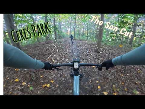
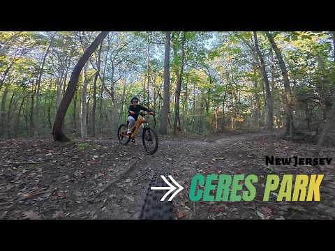
OUR RIDES HERE.
Every video in our
Ceres Park playlist.
BEFORE YOU GO
RIDE IT RIGHT.
FIND THE RIGHT ENTRANCE
Google Maps can route you to the wrong side of the park. Head for the Main Street entrance with the park sign.
NUMBERED POSTS
There are no trail colors here. Note the post numbers at junctions or follow a GPS track.
AFTER STORMS
Blowdowns can block trails after big storms. Be ready to hop off and walk around.
Sources: MTB Project, South Jersey Trails. Conditions and rules change; check the official page before you ride.